Monthly meanderings #5: Osmotherley

It has been a wet, old Winter. We've been soaked to the skin on many of our walks and the waterproofs have really earnt their keep. So, with the promise of dry weather, we were really looking forward to a walk with wonderful views on a clear day. We had great plans of climbing another of the Yorkshire Fells. We knew it would be wet underfoot but visibility looked good. I sat, excitedly, choosing a new walk and then I realised....Storm Kathleen was due to hit. With a promise of possibly being blown over if we climbed, we had a hasty change of plan. That plan was Osmotherley and the walk turned out to be a cracker! You can literally see for miles and have vast, vast views throughout. It provides all sorts of varied terrain throughout too and has the benefit of being pretty dog friendly - they need to be on lead in some places due to nesting birds and livestock but we only came across one stile and there were opportunities for off-lead action too.
As I always say, please do your own research into any walks you undertake. This is not meant as a guide but to inspire exploration - try as I might I don't always remember all the turns and taking notes somewhat spoils the in-the-moment experience of walking. That said, a similar route can be found here or here. This one was a moderate walk as there are a few climbs but there are easier options in the area too.
Osmotherley is a lovely village on the western edge of the North York Moors which has long been associated with walking. Even in the 1800s, it was a popular stopover for cattlemen as they moved herds along the Hambleton Drove Road. For anyone interested in history, it is an interesting place to wander, as well as being near Mount Grace Priory and having a local shop, toilets, pubs and chippy. For those from the Leeds area, you can easily get to it in about an hour.
We parked on the road in the middle of the village. There were a few spaces but it can get busy so early arrival is advised. Our walk was about 7 miles and it was gorgeous. We were hampered in some places by mud (where isn't at the moment?) and the wind was pretty fierce but we had a lovely few hours walking in varied and quiet countryside. The most people we saw were around Cod Beck Reservoir.
Our Route
We walked up the main street to leave the village by following a trail footpath on the left - you will pass some lovely houses with gorgeous views. This led us in the direction of the Cleveland Way. If you turn right, you will be led uphill and to some steps leading to the Lady Chapel. Along this path you can find the stations of the cross and the spring flowers were particularly lovely on the day we visited.
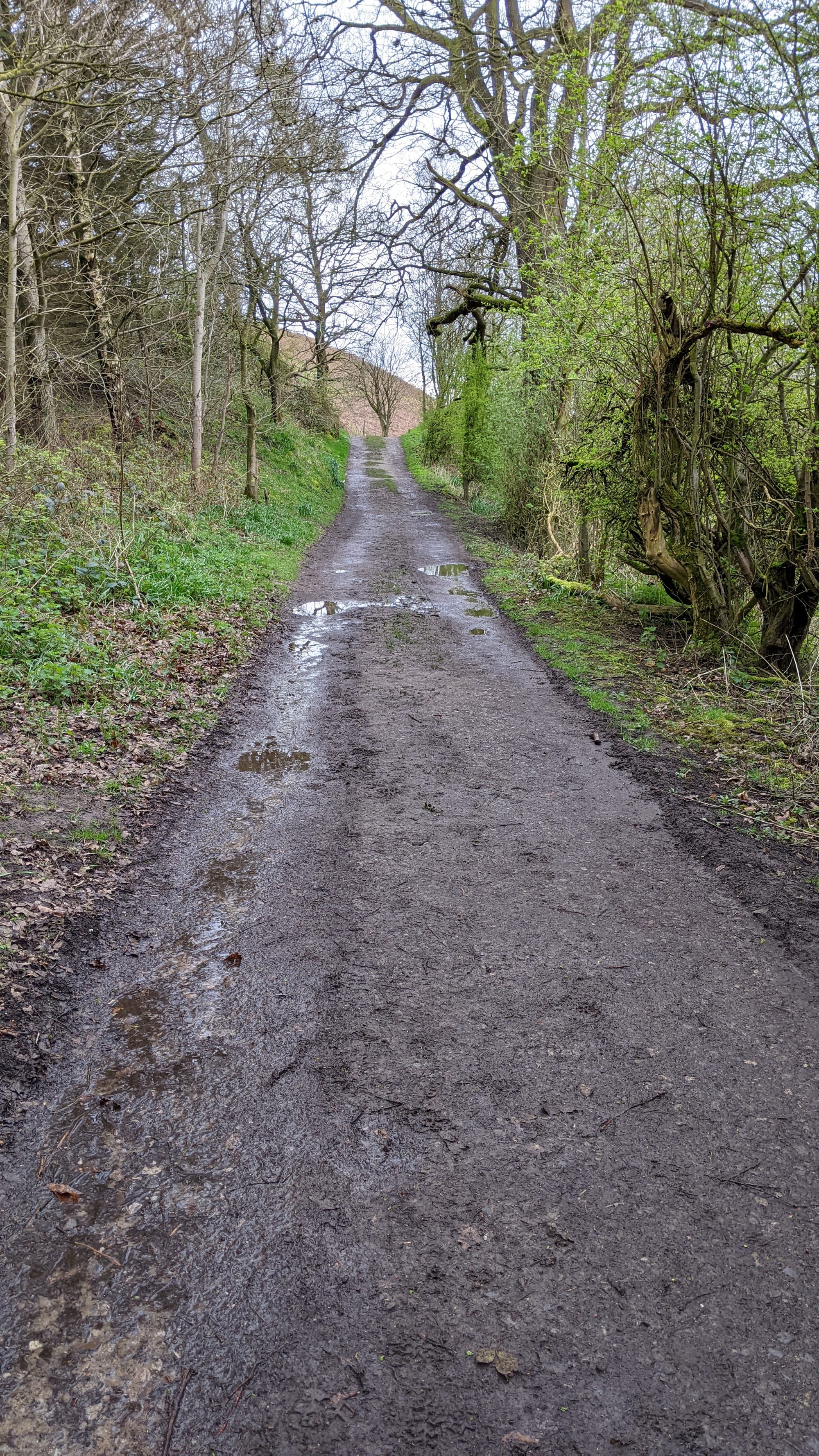
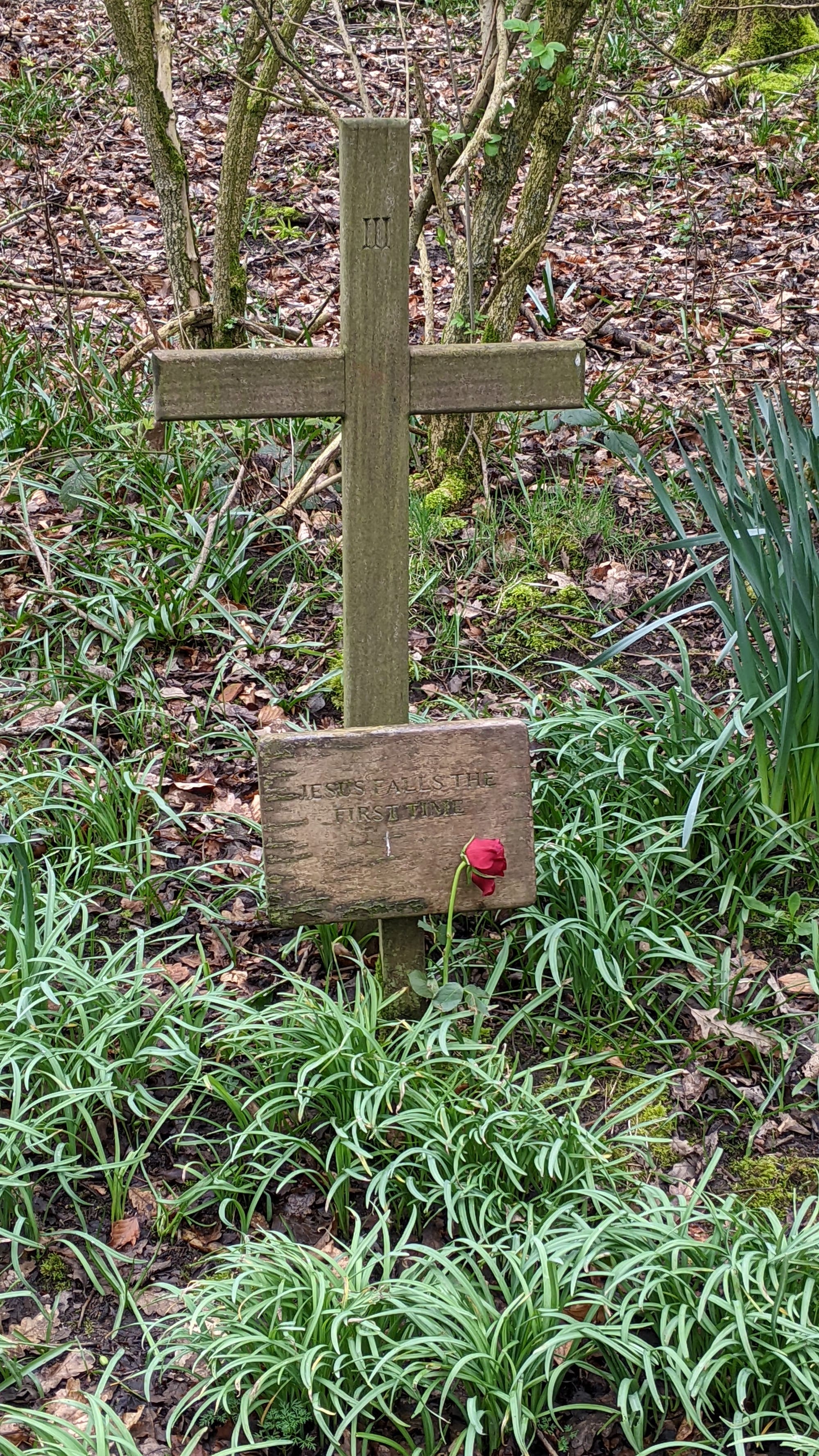

Lady Chapel is a shrine of Our Lady of Mount Grace and it is possible to walk from here to Mount Grace Priory. That was another day's outing for us. The origins of this chapel are unknown, but we do know it was built by the monks before the end of the 15th Century.
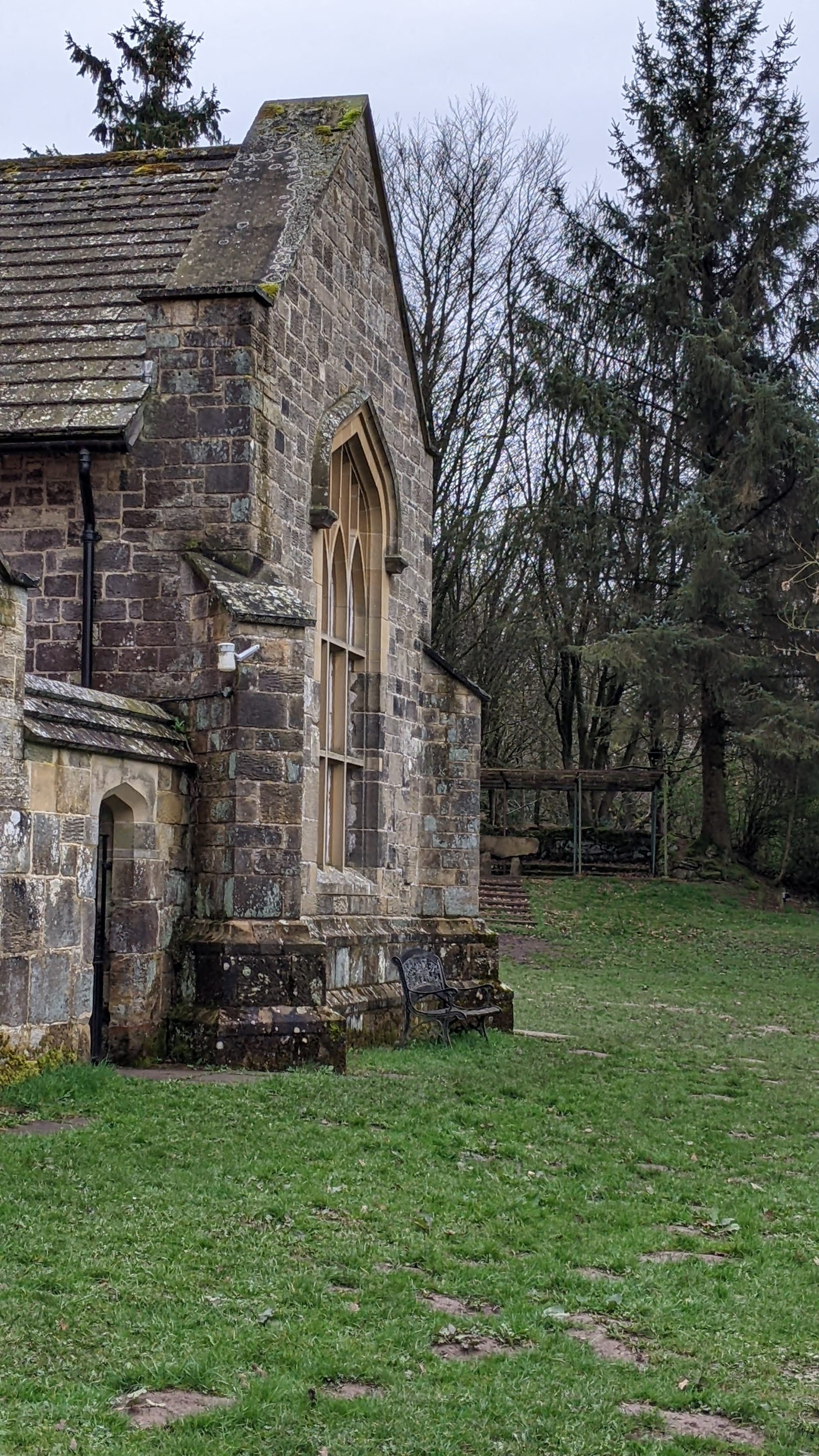
Go past the chapel and to the trail on the other side. This next stretch was particularly muddy when we did it so boots are advised and it can be slippery. If you go through the gate at the end and turn right, you can follow the Cleveland Way. The hill down is quite steep and you go through another gate.
At the bottom of the hill, there is a gate to the right. Go through this and follow the Cleveland Way signs to take you back uphill again - its an up and down kind of a walk but not too challenging.
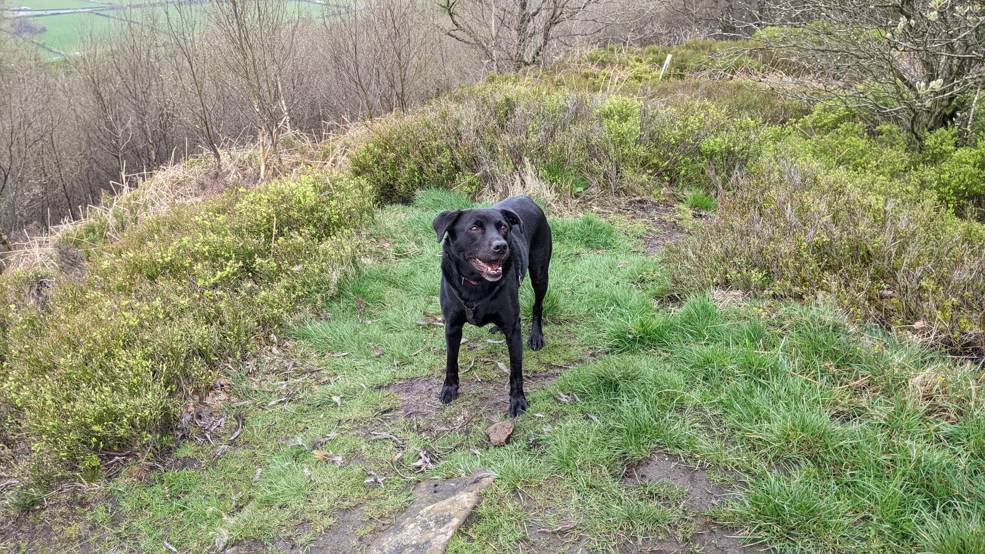
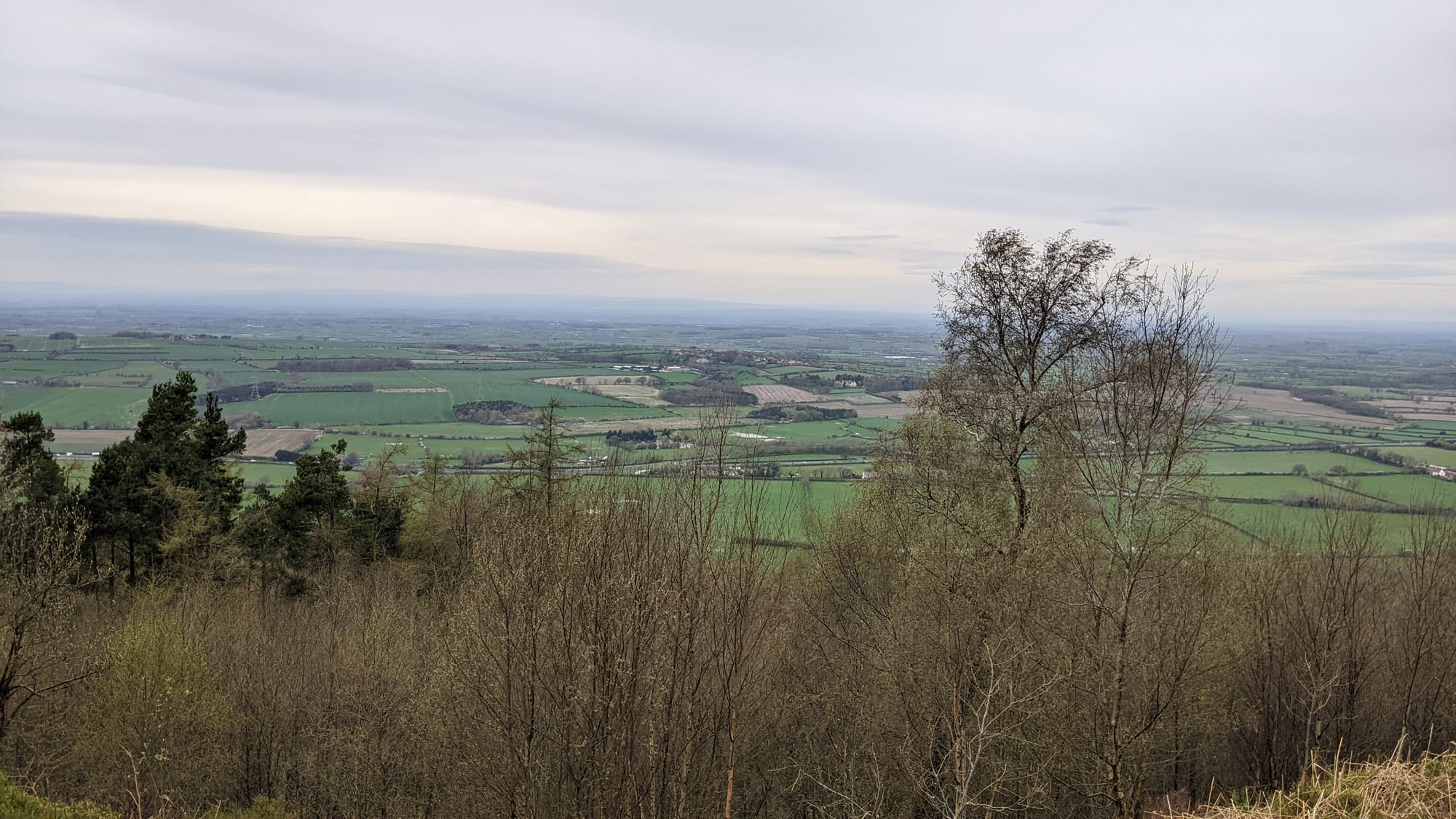
At the top, head left along a dirt track. Follow this until you get to the communication masts. Tip: Mobile phone reception is excellent here!😂 Walk past for some fab views. You will be able to see Roseberry Topping (Walk #4) from here.
Follow the path through a couple of gates and onto Scarth Wood Moor for easy walking on good tracks and lovely views.
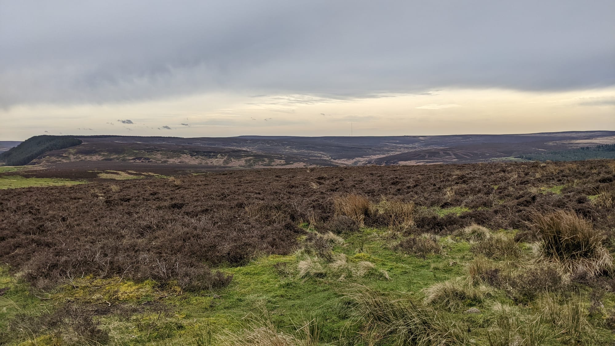
Keep following the main trail to the road. Turn right to walk along the road for a bit until you can see Cod Beck Reservoir carpark. You will notice it as it will probably be packed with cars. Before the carpark, cross the beck (ford or bridge) and head uphill again on a good path. There is a plantation/woodland on your right (we've bailed out here and headed through the trees back to Osmotherley on a very wet visit). Keep walking alongside the woods and along the undulating path.
This track turns into a road. Follow it until you reach Chequers, a 400 year old drovers inn, set on the edge of the North Yorkshire Moors National Park. It is now holiday cottages but you will notice a very old sign on the wall.
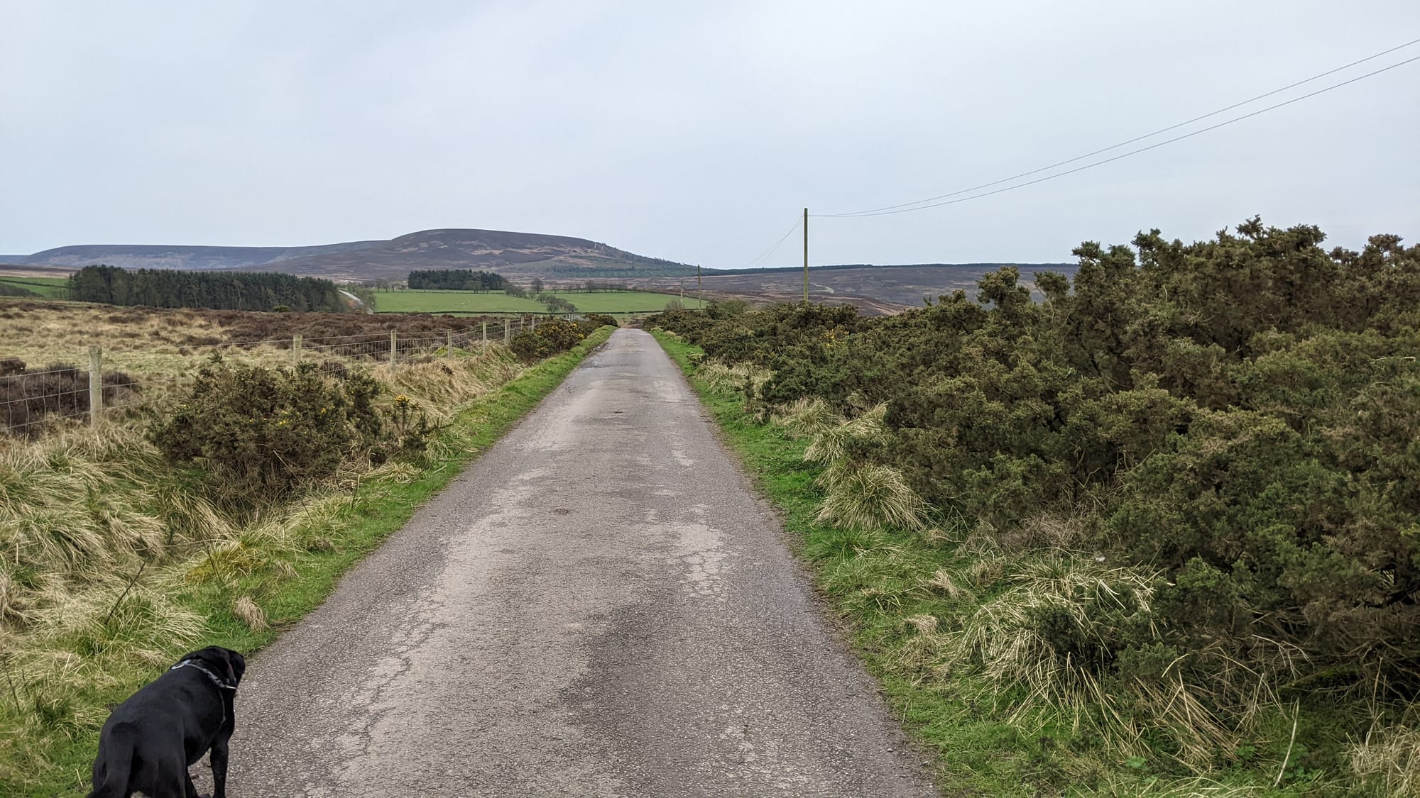
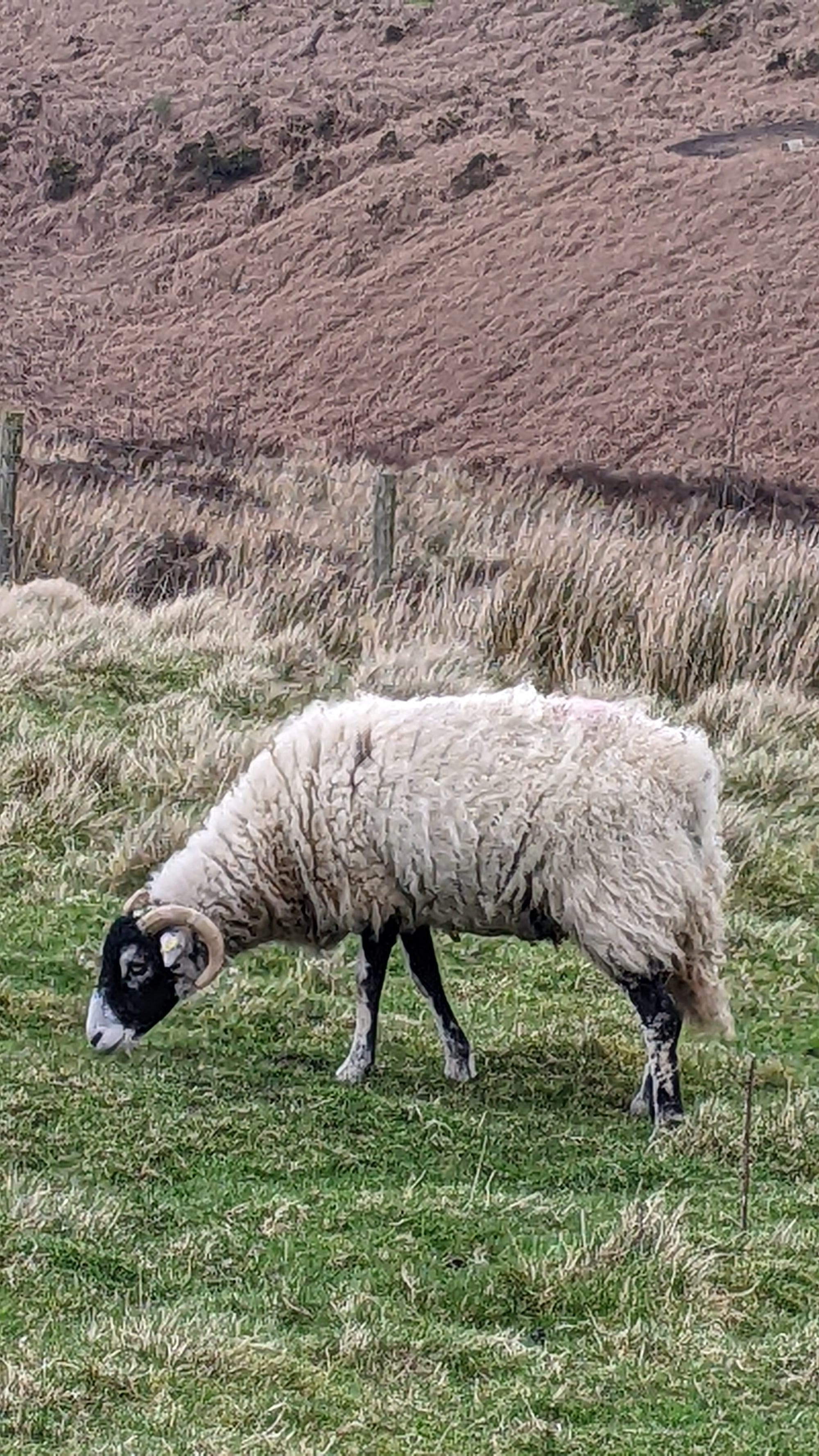
Opposite Chequers, is a gate and this leads to a protected area (dogs on leads here). There are also sheep roaming. This is part of the Thimberley Estate. NB: The one stile is at this point.
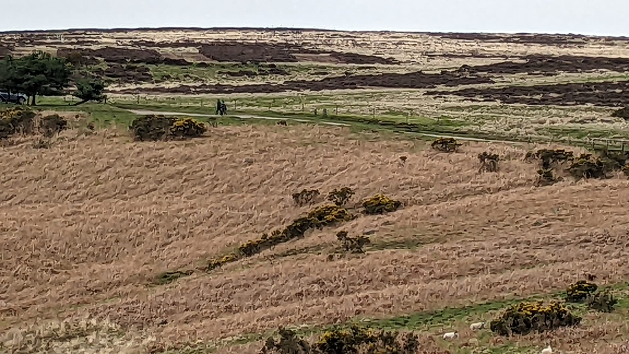
From here, walk back to Osmotherley. You will follow the path that leads to a road (past Yorkshire Water works), up hill and end up in wood land. This is a very pretty section of the walk.
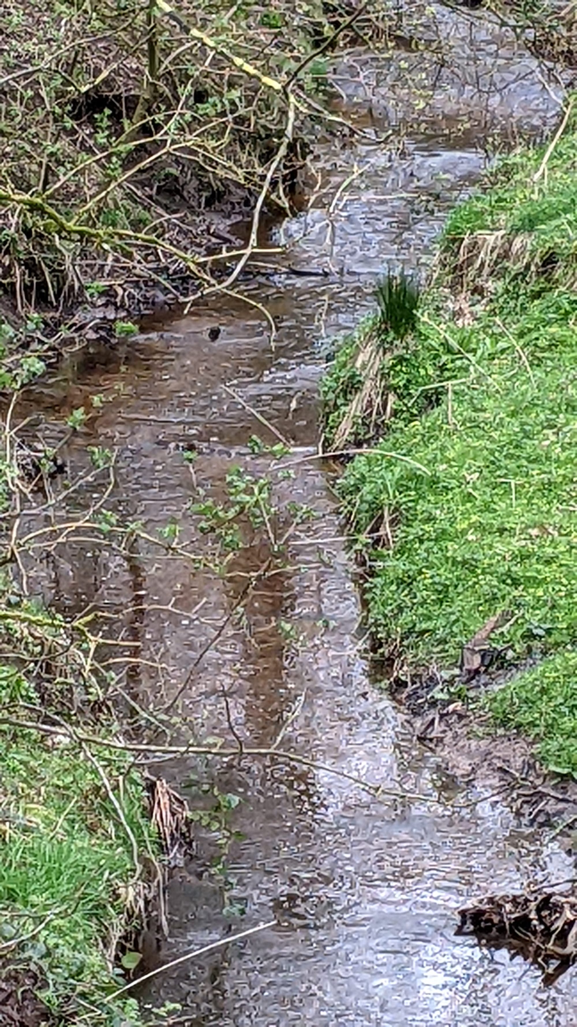
You now have a bit of a surprise. This makes the walk much more interesting that merely walking down the other side of a hill. Steps climb out of the valley - it is very similar to a Manx Glen. I think I might have been tired by this point as my memory of the actual directions is a bit hazy. Please do check a map for the return from Chequers!!!!
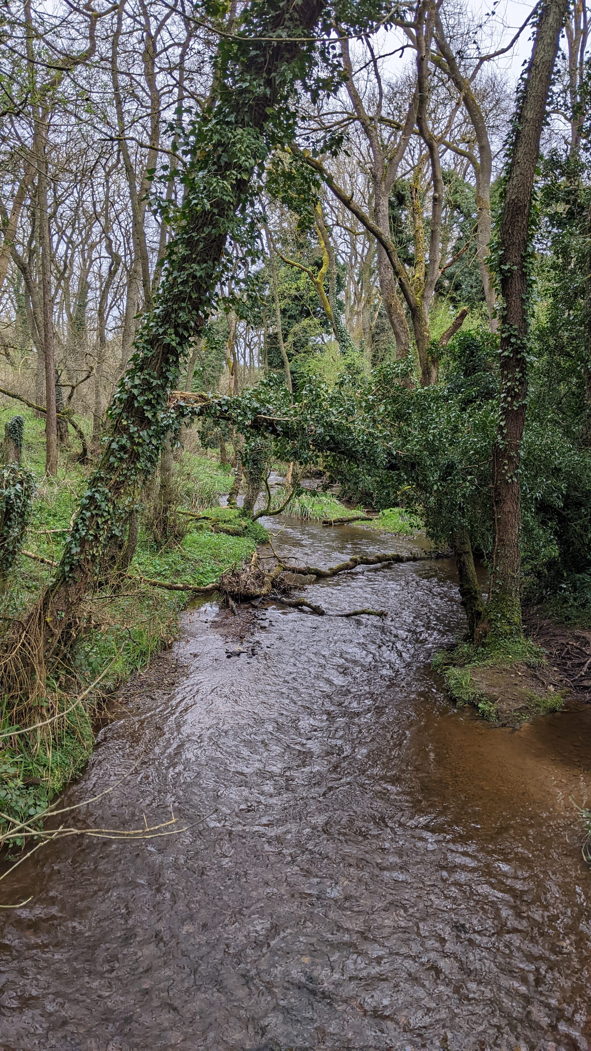
Once at the top, follow the path back to Osmotherley. A track turns into a road and you turn left towards the village. Make your way back to the village - you can't go far wrong from here.
Definitely, try this one out. As I said, this is a general suggestion of a route and you can tweak it as suits to make it shorter or longer. For example, an option is to walk back via Cod Beck Reservoir along the road. Hope you enjoy exploring and let me know what you think! Happy Walking, Kate x